wasserstand.info
Citizens' Service wasserstand.info


What's the solution about?
Microtronics has been involved in the wireless transmission of data and measured values, M2M for short, since 2006. M2M makes it possible to transmit information such as water levels in real time and thus react quickly to changes. Since timely and objective information is essential, especially in the area of disaster control, the know-how from the M2M sector is used for the early detection of floods.
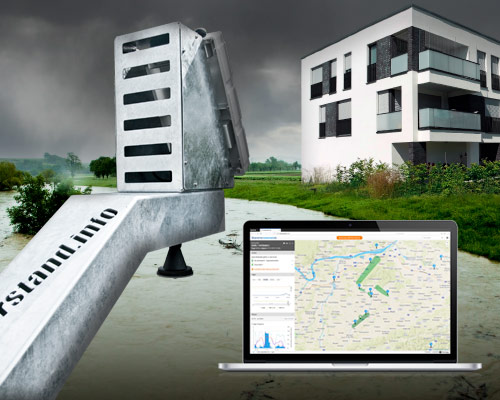
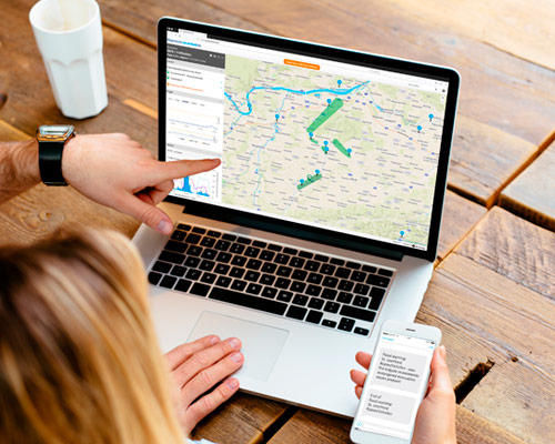
The result of this idea is the Citizen service wasserstand.info, which gives emergency services more lead time and warns citizens via SMS. It can be accessed via the website wassestand.info. Among other things, the water levels of the rivers Melk, Mank and Kleine Erlauf are displayed there in real time. These rivers were equipped with measuring stations that send the water level values to the wasserstand.info platform at regular intervals. The fire brigade determines the value above which an initial alert should be sent to them. After analysing the situation, it forwards the alarm in case of emergency via SMS to all citizens who have registered free of charge with their mobile number on wasserstand.info.
Installation & Maintenance
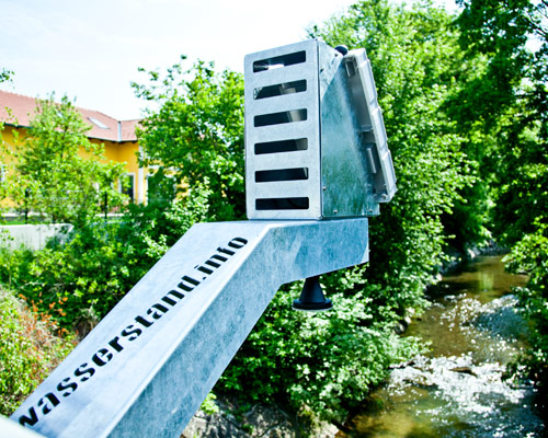
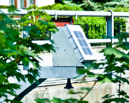
The finished measuring station only needs to be mounted on a bridge. It consists of a radar sensor (measuring range up to 15m), a solar panel (particularly robust due to armoured glass), the integrated transmission device and a bridge mount. Integration partners support the customer with on-site installation and integration. Existing water levels can be integrated into the system, as can other relevant regional measurement data (e.g. weather data, water quality, ozone or pollen pollution).
Advantages
- Direct and up-to-date information in severe weather situations via free SMS
- Objective information on the actual threat picture on the ground
- Significant time savings in the event of an emergency due to earlier initiation of preparatory measures
- Damage minimisation through faster response
- More economical and at the same time faster deployment of emergency forces
- Extension with further interesting regional measurement data such as weather data, pollen load etc. possible

Mit dem Laden des Videos akzeptieren Sie die Datenschutzerklärung von YouTube.
Mehr erfahren
These components are used
Good to know
Any citizen can register via the websitewasserstand.info inform about the current water levels. In some zones in Lower Austria, registration on the aforementioned website enables a free warning SMS service at risk of flooding.